Weather, unflattened.
The precision of the ICON-D2 model. Data from hundreds of weather stations, directly integrated into innmaps.
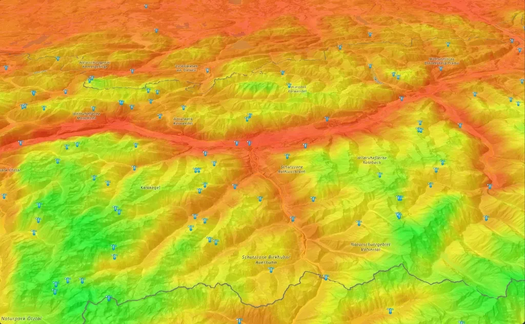
Where the Snow Lies. Exactly.
The north face holds. The south face loses. See snow depth projected directly onto the topography, before you make your first turn.
Wind. Live and Directional.
Real-time wind flow visualized as moving particles across the terrain. Gust intensity mapped by color, direction tracked continuously across ridges and valleys.
Thunderstorm Cores. Volumetric.
Watch summer convective storm cells develop over vertical terrain. Precipitation intensity mapped continuously — lightning activity pulses live as storms build and collapse.

3D TERRAIN
Initializing MapLibre GL
Live Telemetry
Every weather station. Unified into a single pulse.
We aggregate, clean, and normalize disparate regional sensor streams across the Alps. No delays. No fragments. Just pure data refreshed every 10 minutes.
Ready to explore the peaks?
Get unflattened atmospheric projections mapped directly over professional-grade alpine topography.