High-Resolution Terrain Data
The foundation of every safe tour is accuracy. We source official survey data to provide the most detailed topographic representation of the Alps and beyond.
Current Coverage
We currently offer high-precision terrain data for the entire Alps region and significant parts of Europe. By merging official government datasets with global models, we provide consistent depth and clarity.
Ultra High Precision
Switzerland
0.5m
Austria
1m
Germany
1m
France
1m
High Precision
Italy
10m
Global Base
World
30m

See the Difference
Drag to compare innmaps' precision terrain data against an anonymous alternative.
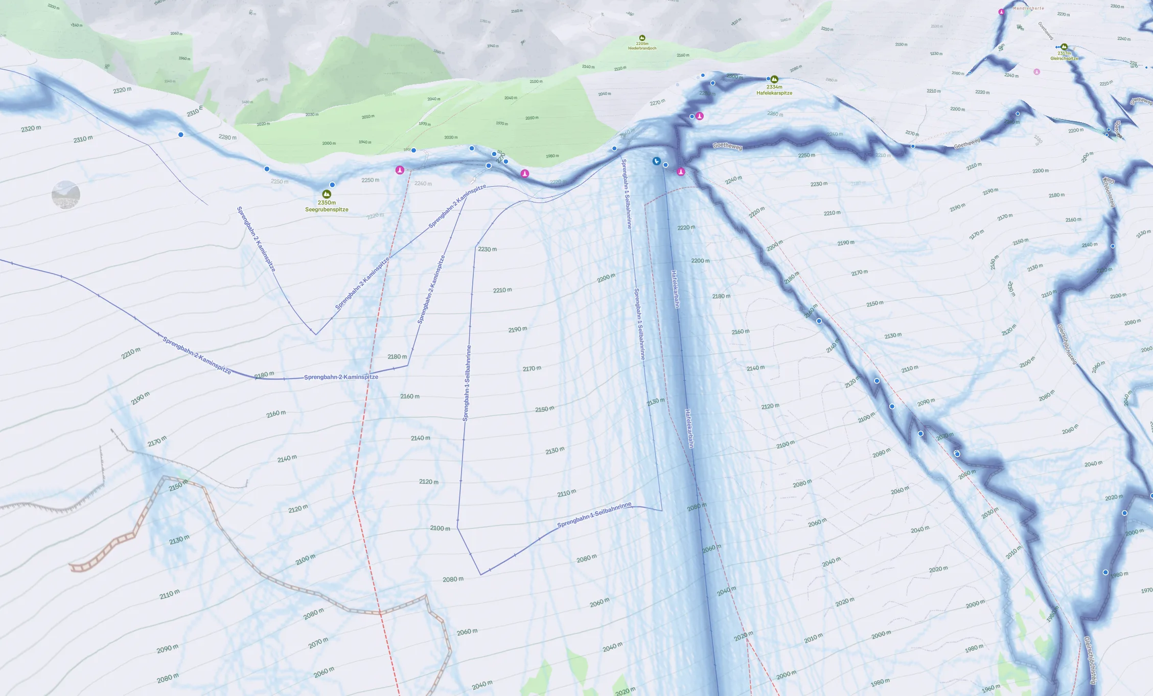
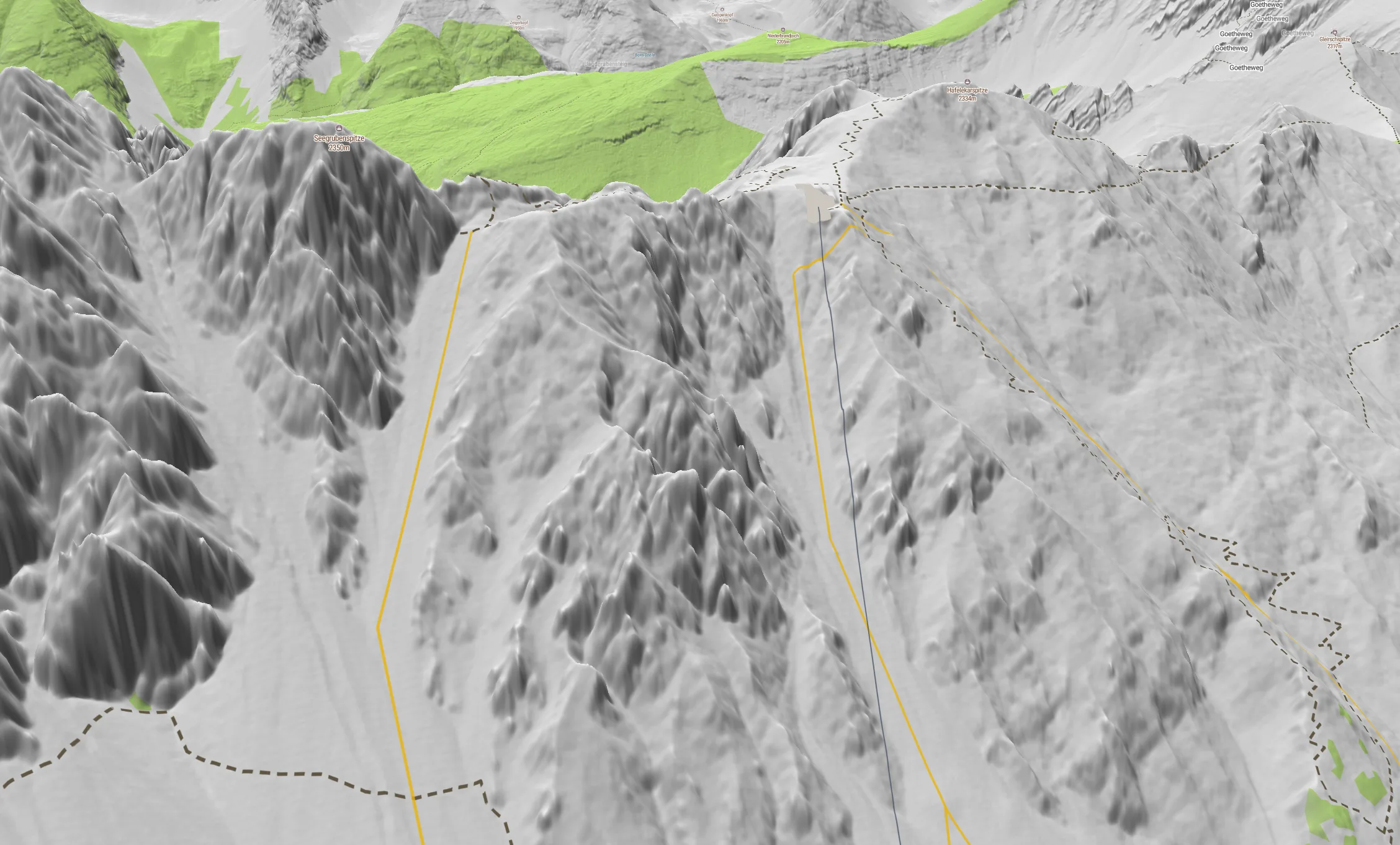
All our layers, including slope angle shading and avalanche zones, are calculated directly from this data. The result is industry-leading accuracy where it counts most.
Integrated Datasets
Missing a region?
Tell us which mountain range you need in high resolution. We prioritize data acquisition based on your requests.
Why Precision Matters
Spot Terrain Traps
Standard maps smooth over small gullies. Our 1m data reveals the critical micro-terrain features that can trap you in an emergency.
Accurate Slope Angles
Avalanche risk depends on precise gradients. High-res models ensure your slope shading reflects the true steepness of the face, not an average.
Confident Navigation
When visibility drops, trust that the ridge on your screen matches the ridge under your boots to the meter. Precision builds confidence.
Shape the future of innmaps
This feature is currently in active development. We prioritize our roadmap based on community feedback. Have an idea, request, or spotted a bug? Let us know directly.